

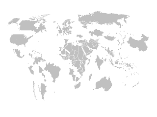
Using maps to show the data pertaining to a geographic area is a good idea!
You need editable maps so that you can use color codes to show the data distribution.
Creating such click-able maps needs skill and effort!
Here is one such map for you - India-States. Download India map @Downloads
Creating such click-able maps needs skill and effort!
Here is one such map for you - India-States. Download India map @Downloads
You can create your own maps from any JPGs by using a software called inkscape, an open source vector graphics editor.They have a number of tutorials to help you at inkscape tutorials.
You can split the map by states and use colors of your choice to the states.
Similar maps are available from a web site called Presentation Magazine
You can split the map by states and use colors of your choice to the states.
Similar maps are available from a web site called Presentation Magazine
This site hosts freely downloadable Maps of various countries very creatively crafted PowerPoint template, Editable Powerpoint News papers (a very creative thought!)
Brilliant stuff....I was tempted to share their maps, However, I respect their appeal to create a backlink rather than share. They deserve your visit to their site for all the effort in creating DO.. CO..MO.. stuff (Download, Copy ,Modify)